The Afternoon Build
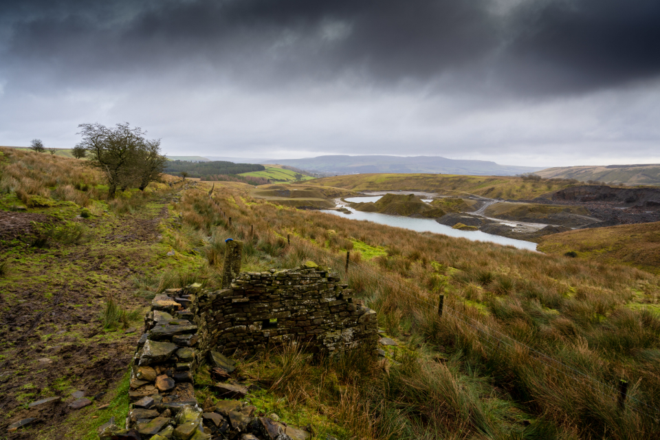
A summer day up here has a shape. Clear and cool at dawn, hazy and warm by mid-morning, and then, sometime after lunch, white towers stacking over the far ridge. By three or four it is dark to the west, the wind reverses and comes cold down the cove, and the first of it hits the tin roof like gravel.
Most of those storms are short and welcome. A few are not, and the difference matters more here than in flat country, because a mountain concentrates what falls on it.
Why These Mountains Make Their Own Storms
Lift and Heat
Warm, humid air moves up from the south, hits the wall of the Blue Ridge, and is forced upward. Rising air cools, moisture condenses, clouds build. Add the day’s heating on sun-facing slopes and you have a machine for making afternoon thunderstorms. It is why parts of the southern Appalachians are among the wettest places in the eastern United States, the highest elevations taking well over six feet of precipitation a year.
The timing is consistent: the build starts late morning, peaks mid to late afternoon, and often collapses by evening. Plan around it. Hike early, be off exposed ground by early afternoon, and save the porch for five o’clock.
The Tropical Wildcard
The dangerous rain events are different. When the decayed remains of a tropical system drift up from the Gulf or the Atlantic and stall against these mountains, that same lift wrings enormous amounts of water out of a saturated air mass, sometimes for a day or more. That is the pattern behind the region’s historic floods and landslides. If a tropical system is anywhere in the forecast, watch it even when it is hundreds of miles off and looks like nothing.
Lightning
Where You Do Not Want to Be
Lightning is the immediate hazard of an ordinary afternoon storm, and the rule is blunt: there is no safe place outdoors. Safety means a substantial building or a hard-topped vehicle with the windows up. Everything else is only a matter of degree.
The worst places are the ones people are drawn to. Ridgelines, summits, open balds and rock outcrops put you at the high point. Isolated trees and clearing edges invite side flashes. Shallow overhangs and cave mouths are genuinely dangerous: current travels across the rock face and can jump the gap where you shelter. Open water, wire fences and metal railings carry current well away from the strike point.
Distance misleads too. Lightning regularly reaches ten miles from the parent storm, so a strike can arrive from a sky that still looks blue. If you can hear thunder, you are within range. Move to shelter at first thunder and wait thirty minutes after the last rumble.
If You Get Caught
Start descending immediately, off the ridge toward lower, more uniform terrain, but not into a gully that could flood. Get into a stand of shorter trees rather than under one tall one. Put away trekking poles and metal pack frames. Spread the group out so one strike cannot injure everyone.
You may have heard about a lightning crouch. The National Weather Service no longer recommends it as protective, and the time is better spent getting to a car or a building. If you are truly stuck, minimize contact with the ground and keep moving toward real shelter. Most casualties come from ground current spreading through the earth rather than a direct hit, which is why lying flat is a bad idea.
Inside the Cabin
A cabin with wiring and plumbing is good shelter, but the current has to go somewhere. During a close storm, stay off corded phones, do not shower or wash dishes, and keep away from the metal stovepipe and anything plugged in. Unplug what you can before it arrives rather than during. A covered porch is not inside; it is an open-sided high point with a metal roof.
Expect the power to go. Keep headlamps where you can find them in the dark, and top off the phone before the sky darkens. Cell service in these coves is patchy on a good day and worse in heavy rain.
When the Creek Changes Its Voice
Spend enough time here and you will know the ordinary sound of the creek well enough that a change wakes you. That change is information. Steep, thin-soiled drainages shed water fast, and a heavy cell parked on the headwaters two miles above can arrive as a surge while it is still dry at the cabin.
The signs are consistent. The creek gets louder and drops in pitch. The water goes from clear to tea-colored to brown. Leaf mats, sticks and foam ride through. The margin creeps up the bank and your steppingstones disappear. When that starts, move away from the channel and upslope, and stay away until it is clearly falling. These surges usually pass in hours.
Learn the two terms, because they differ. A flash flood watch means conditions are favorable and you should pay attention. A flash flood warning means flooding is happening or about to, and you act now rather than looking out the window to confirm.
Steep Ground and Debris Flows
The second-order hazard in an extreme rain event is the slope itself. On very steep ground with shallow soil over rock, prolonged saturation can cause a section of soil and vegetation to let go and run down a drainage as a debris flow, carrying trees and boulders with it. These have happened repeatedly here during exceptional rainfall, and they move faster than a person can.
You cannot predict an individual one, but you can respect the pattern. During and after very heavy multi-day rain, stay out of the bottoms of steep narrow hollows, avoid camping or parking directly below a long steep drainage or a road cut, and take official evacuation guidance seriously even if your hillside looks fine.
Roads, Fords and Getting Home
More people get into trouble driving in these storms than hiking in them. Do not drive through moving water on a road, ever. You cannot see whether the roadbed is still there, and often it is not; a modest depth of moving water floats a vehicle, and gravel roads scour out from underneath in minutes. Turn around, or wait.
Low-water crossings and fords are the specific trap on private and forest roads. They are passable at normal flow and impassable well before they look it. After a storm, expect downed trees, gullied gravel, rockfall on cut banks and downed power lines. Treat every downed line as energized, and avoid mountain roads at night right after a heavy storm.
A Working Routine for Summer Days
- Check the forecast before breakfast. Look at the hourly forecast and the radar trend for this county, and note any watch in effect. In summer the answer is usually storms after two, which is your planning constraint.
- Do the high, exposed thing first. Summits, balds, overlooks and open ridges belong to the morning. Waterfalls, creek walks and shaded coves make better afternoons anyway.
- Keep a weather radio at the cabin. Battery or hand-crank, tuned to the NOAA broadcast for this area. It works when the cell network and the power do not, and it is the only alerting that reliably reaches a cove.
- Know the way out before you need it. Two routes off the property, where the low crossings are on each, and how long each takes. Decide that in daylight, not with water over the road.
- Leave earlier than feels necessary. When the towers go up and the wind shifts cold, you have less time than you think. Nobody has ever regretted getting off a ridge twenty minutes early.
- Carry a shell and a warm layer in summer. Soaked to the skin at five thousand feet with wind behind a storm is a hypothermia setup even in July.
- Stay put once it is on you. If the storm arrives while you are somewhere safe, wait the thirty minutes. Almost every bad outcome starts with somebody deciding to move during the worst of it.
Sit out enough of these and you will come to like them. There is a particular quality to the cove afterward: the light comes back low and yellow, the creek is loud, the woods steam, and the place smells like wet rock and hemlock.